Introduction to Chronosequence:
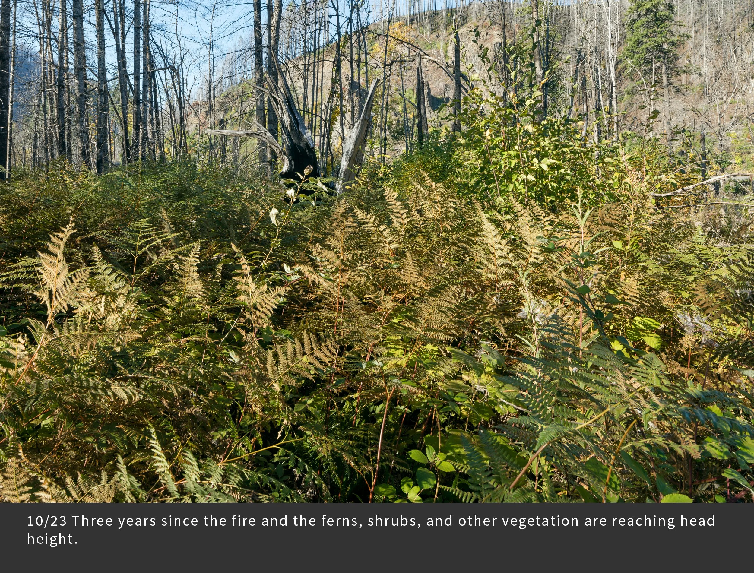
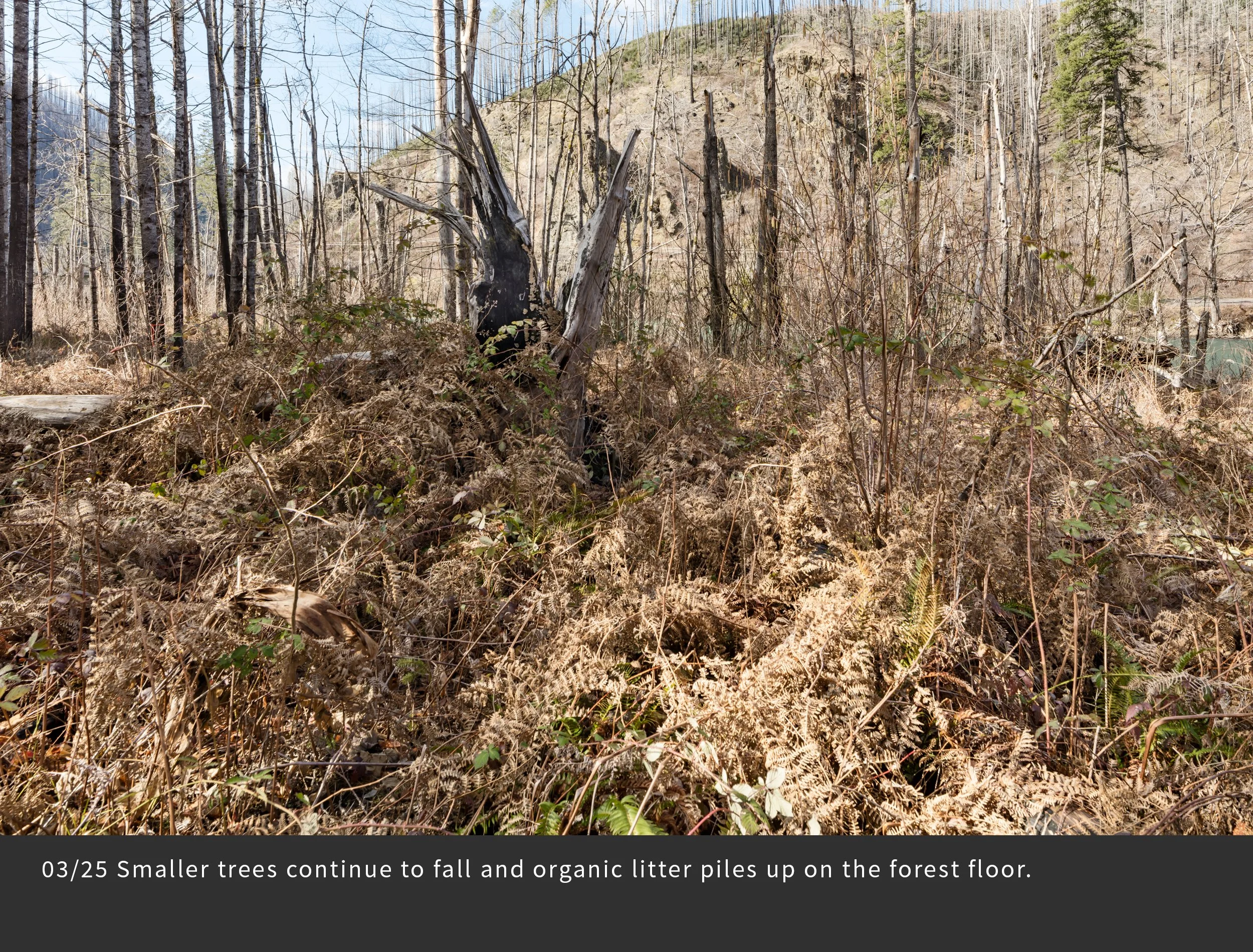
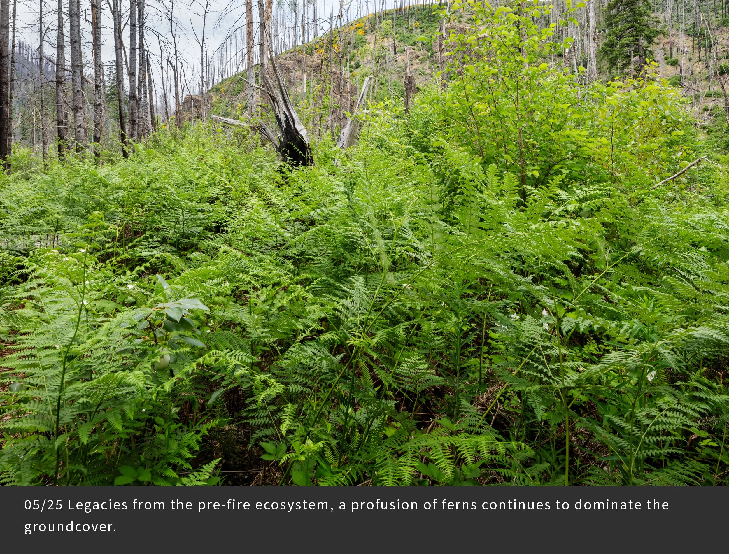
Repeated photography of the same scene over seasons and years has long been used by artists and scientists to document landscape change. This technique is especially relevant after major scene-changing events, such as wildfire, volcanic eruptions, and human land use activities. For this project, we selected 25 distinct photopoints that represent different forest conditions. During the first three years we photographed each photopoint 17 times in order to record the changing landscape following the fire. Here is a sampling of the most interesting changes. Note the abundance of vegetation, its changes over seasons and years, the collapse of dead and living trees, and signs of the uncertain future – climate change, invasive species, and intensive forestry. And note your own emotional responses as you view the changes in the land.
Photopoint FRR27
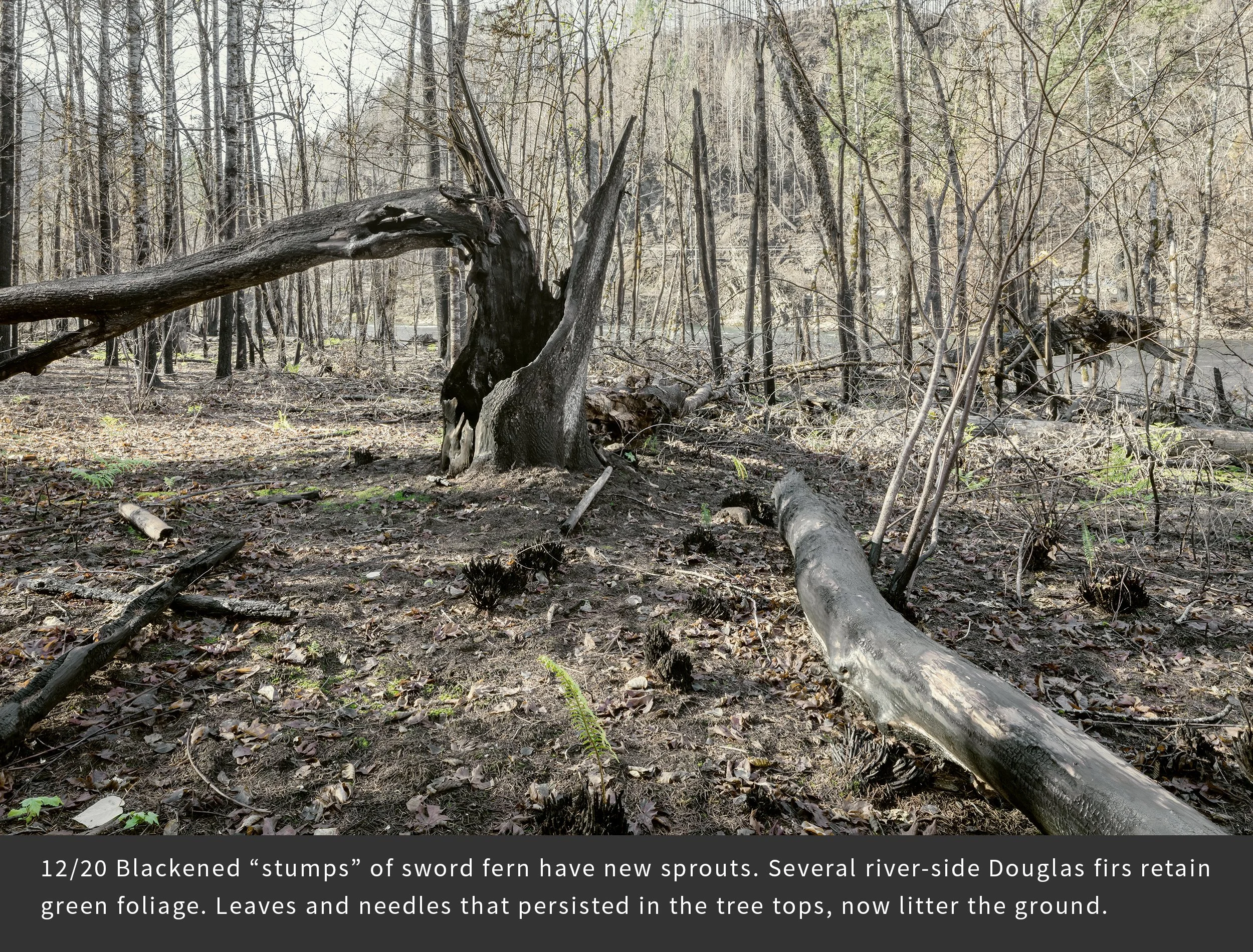
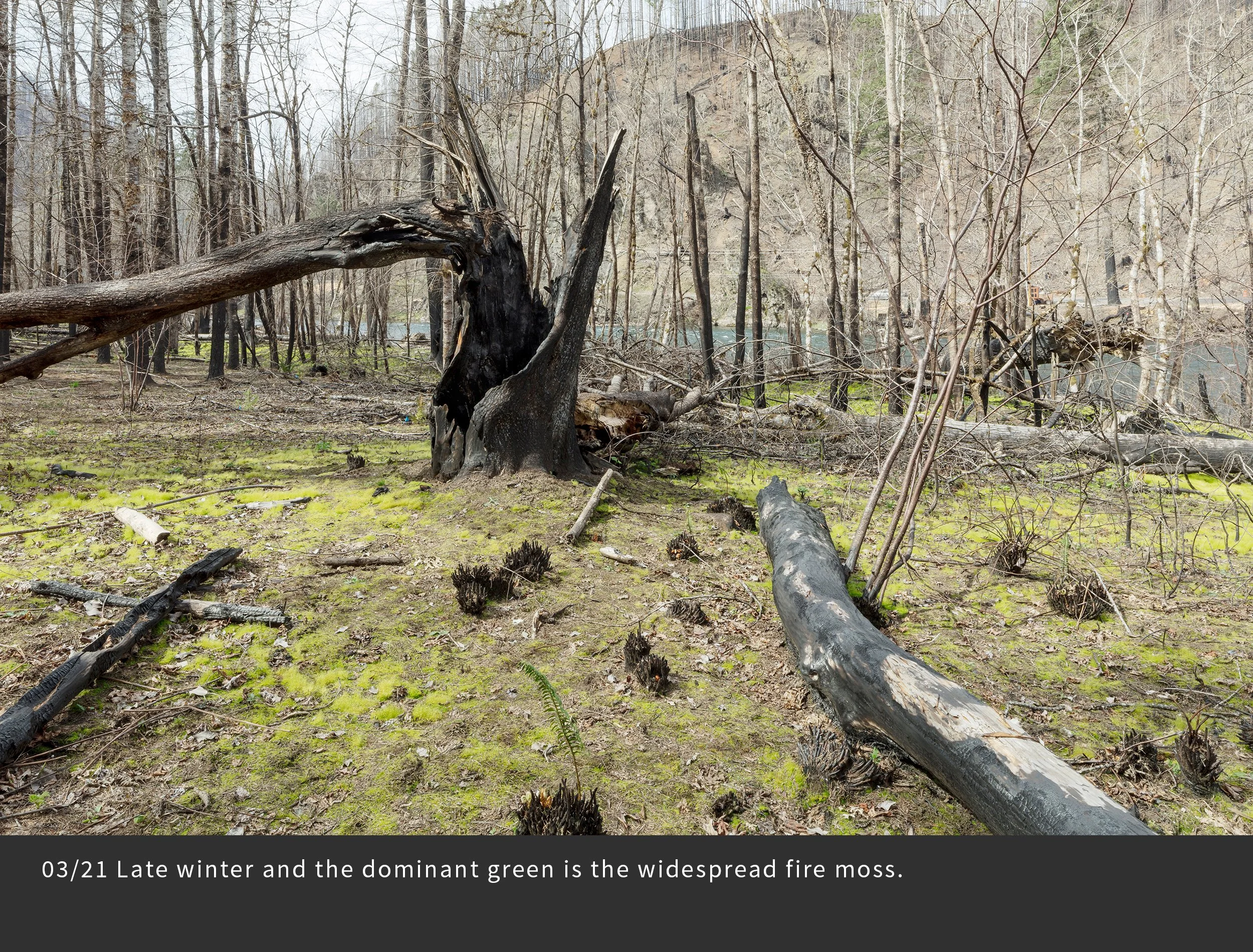
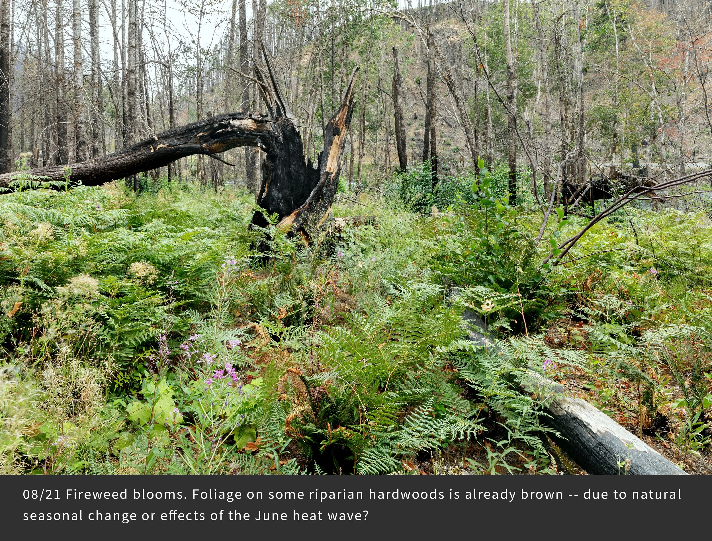
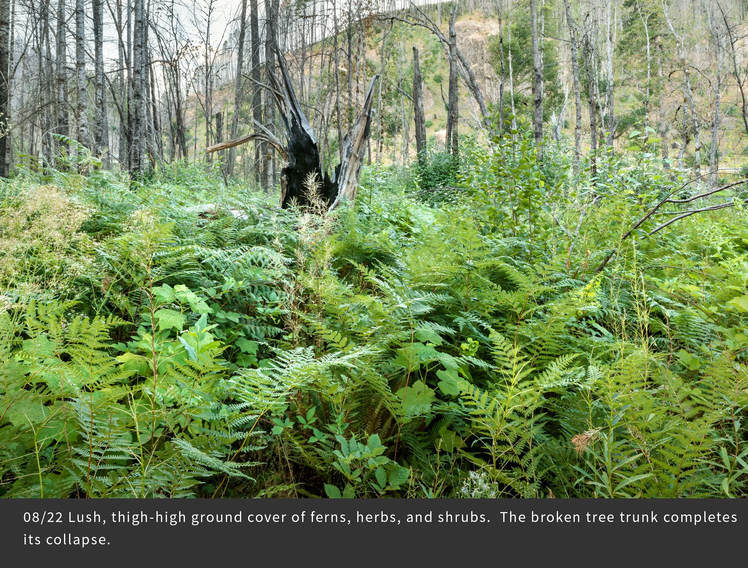
This view is looking through a young riparian forest toward the McKenzie River flowing to the left. A logging camp occupied this site into the 1970s. The fire quickly burned down the valley, but left fire smoldering in the crotch of the large bigleaf maple tree, eventually causing collapse of three big stems – to the left and away and toward the camera.