Introduction to Chronosequence:
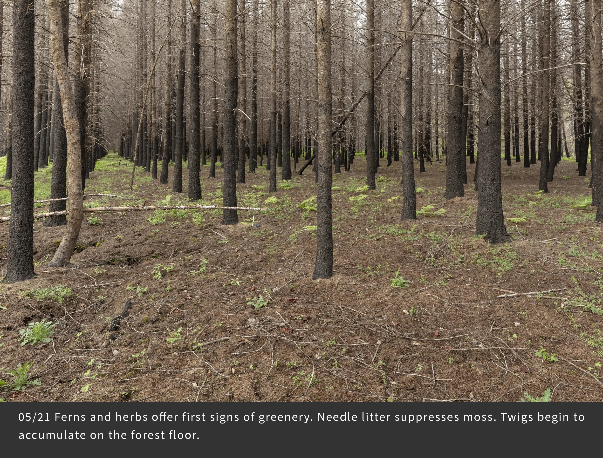
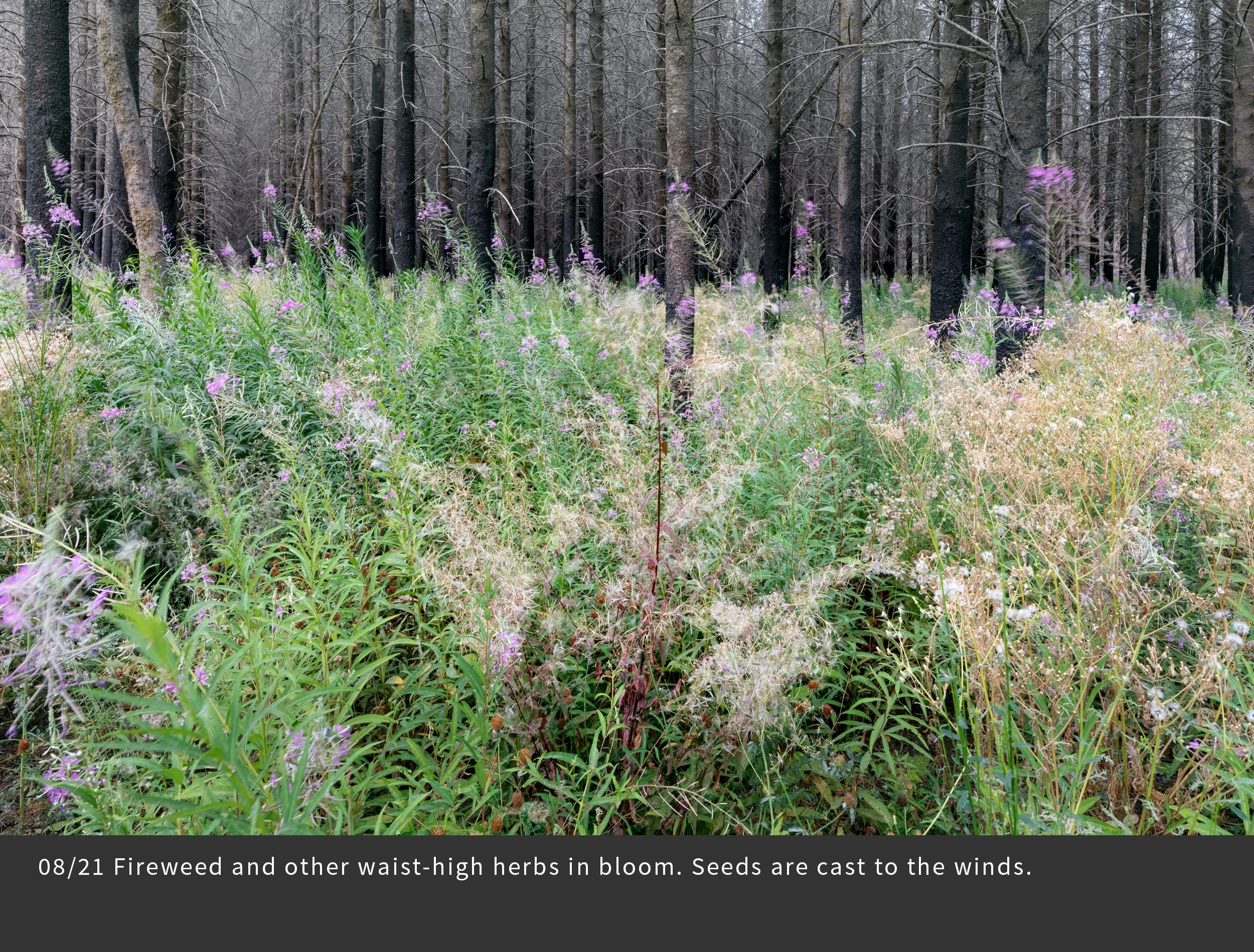
Repeated photography of the same scene over seasons and years has long been used by artists and scientists to document landscape change. This technique is especially relevant after major scene-changing events, such as wildfire, volcanic eruptions, and human land use activities. For this project, we selected 25 distinct photopoints that represent different forest conditions. During the first three years we photographed each photopoint 17 times in order to record the changing landscape following the fire. Here is a sampling of the most interesting changes. Note the abundance of vegetation, its changes over seasons and years, the collapse of dead and living trees, and signs of the uncertain future – climate change, invasive species, and intensive forestry. And note your own emotional responses as you view the changes in the land.
Photopoint FRR04
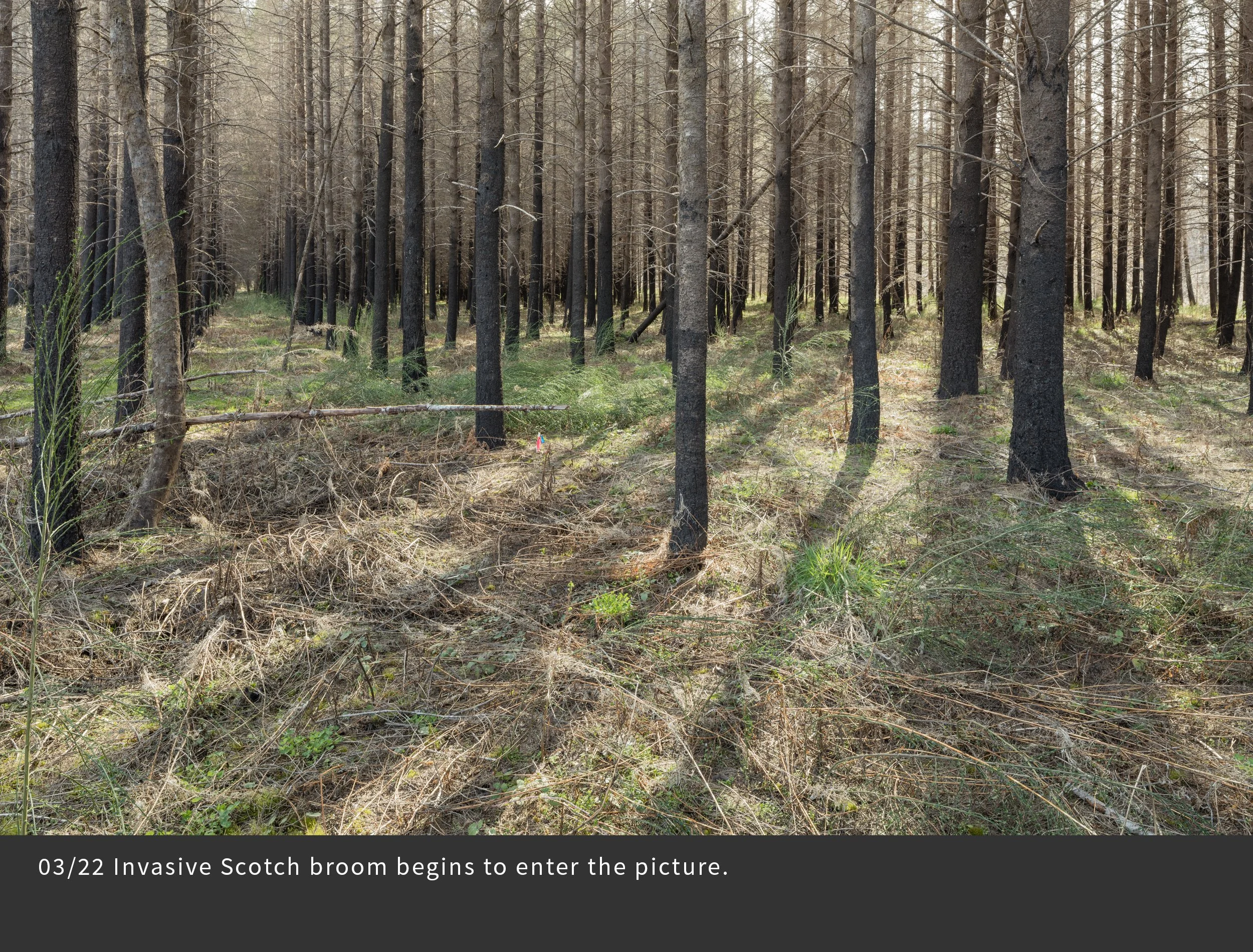
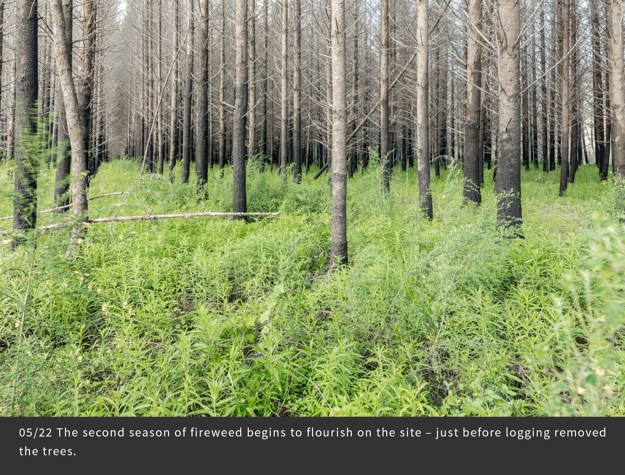
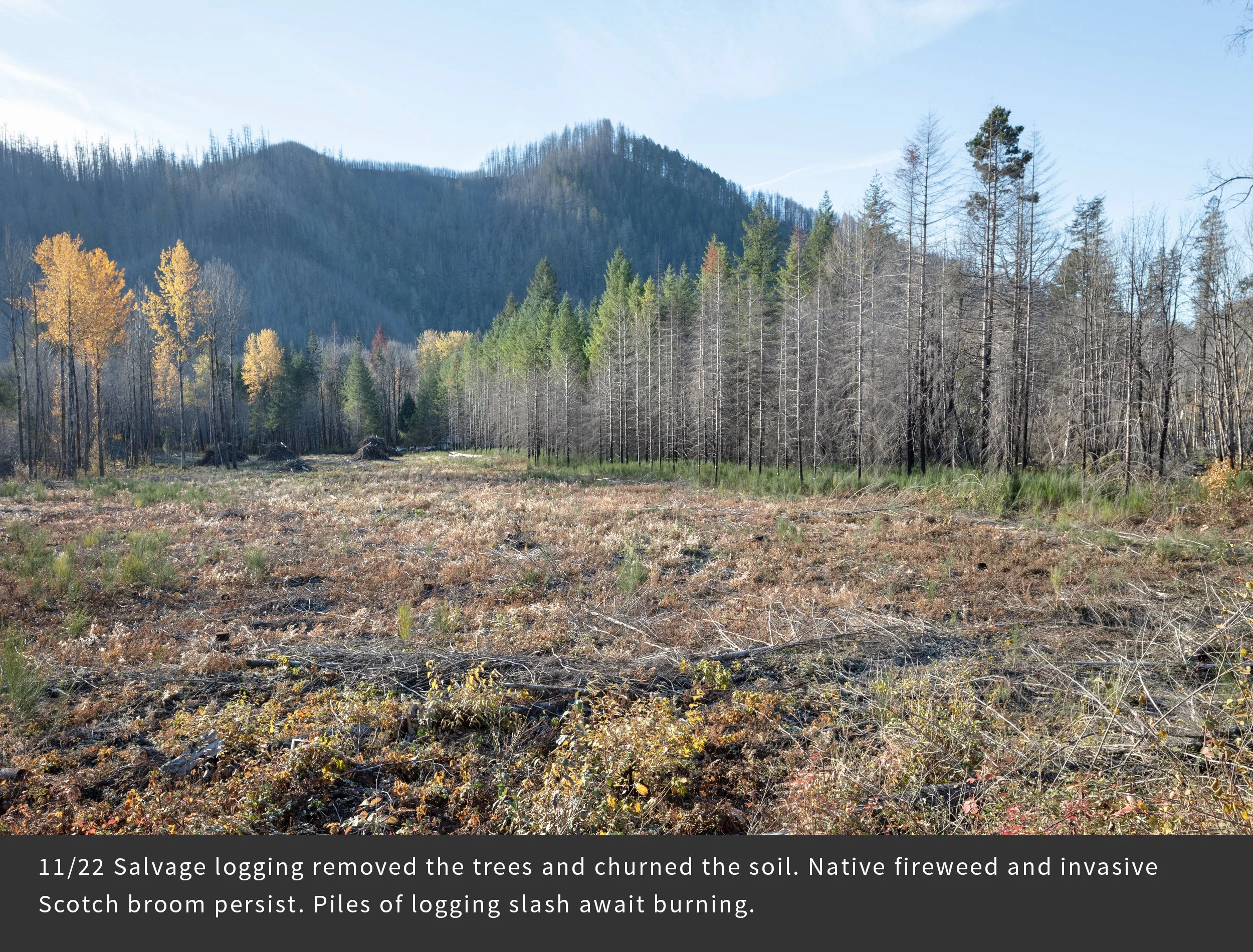
This 35-year-old Douglas fir tree plantation grew on the floodplain of the McKenzie River near the Finn Rock bridge. Its stark simplicity – flat, smooth ground and an absence of old stumps and rotten logs – bears no evidence of a previous forest. A 1955 truck license plate suggests it may have been part of a logging camp. The understory fire left tufts of green foliage on many tree tops (not visible in the photos). Logging of these trees two years after the fire prompted us to relocate the photopoint. We did not anticipate the logging when we set the photopoint, but the logging provides opportunity to track forest response to this dramatic change and roles of the invasive Scotch broom.