Introduction to Chronosequence:
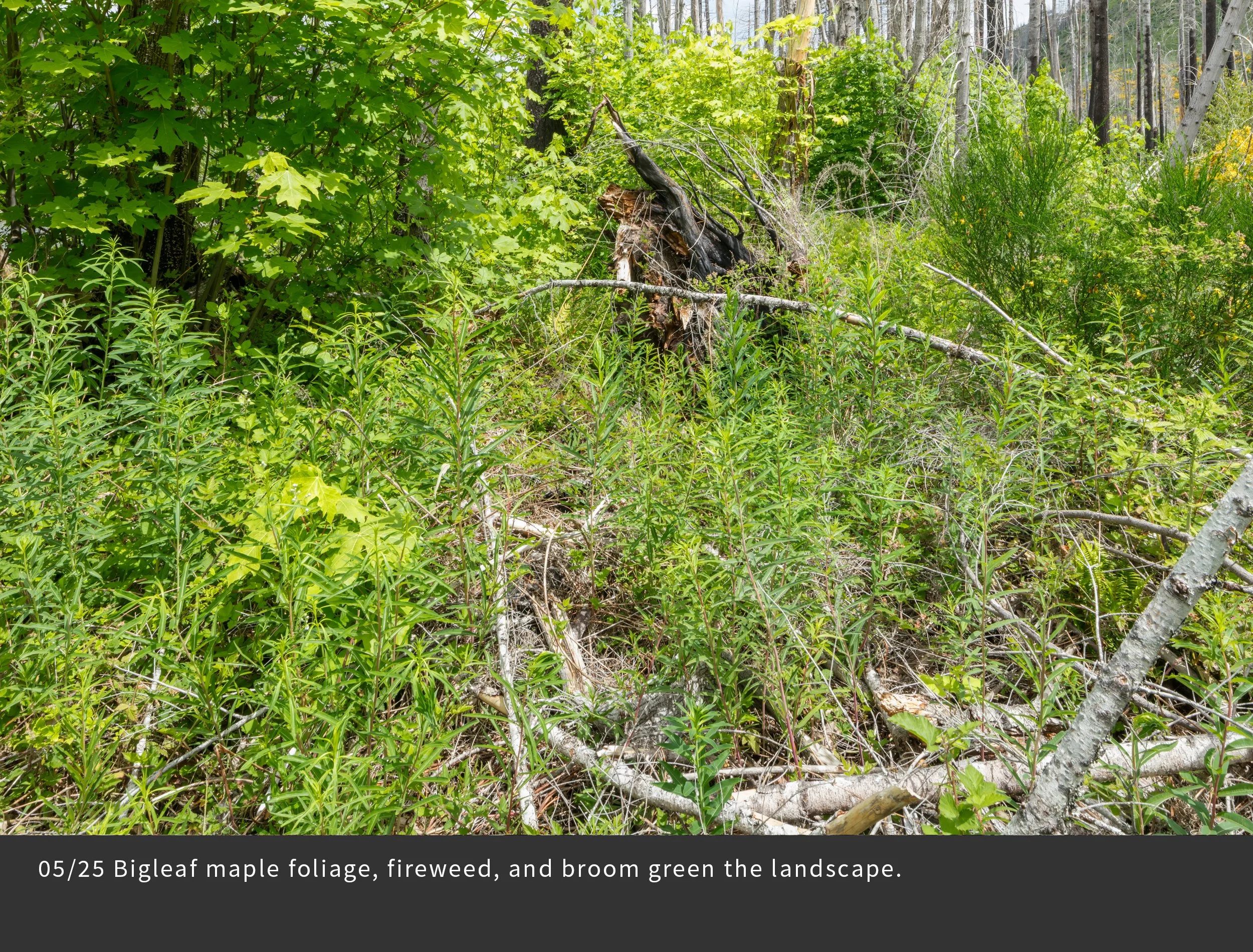
Repeated photography of the same scene over seasons and years has long been used by artists and scientists to document landscape change. This technique is especially relevant after major scene-changing events, such as wildfire, volcanic eruptions, and human land use activities. For this project, we selected 25 distinct photopoints that represent different forest conditions. During the first three years we photographed each photopoint 17 times in order to record the changing landscape following the fire. Here is a sampling of the most interesting changes. Note the abundance of vegetation, its changes over seasons and years, the collapse of dead and living trees, and signs of the uncertain future – climate change, invasive species, and intensive forestry. And note your own emotional responses as you view the changes in the land.
Photopoint FRR17
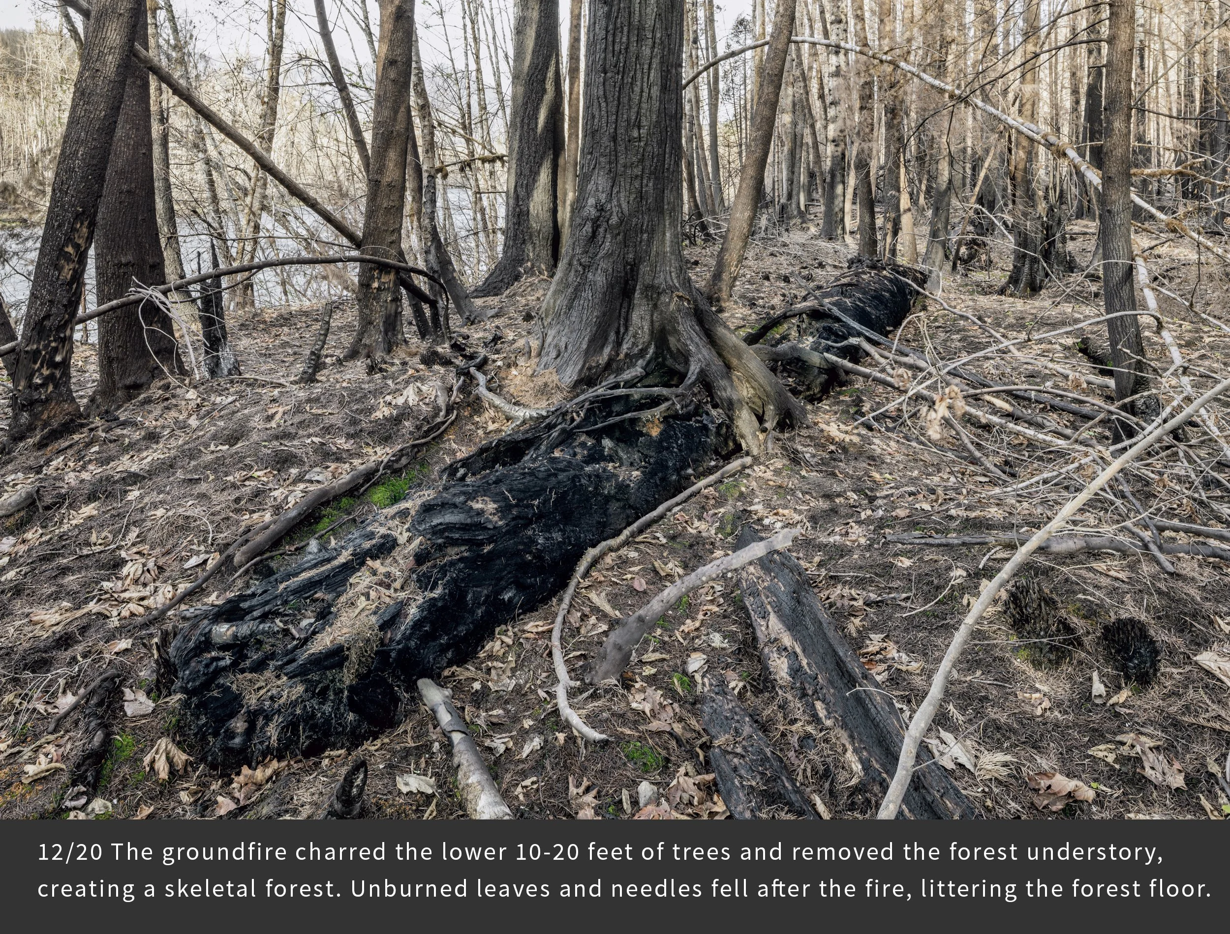
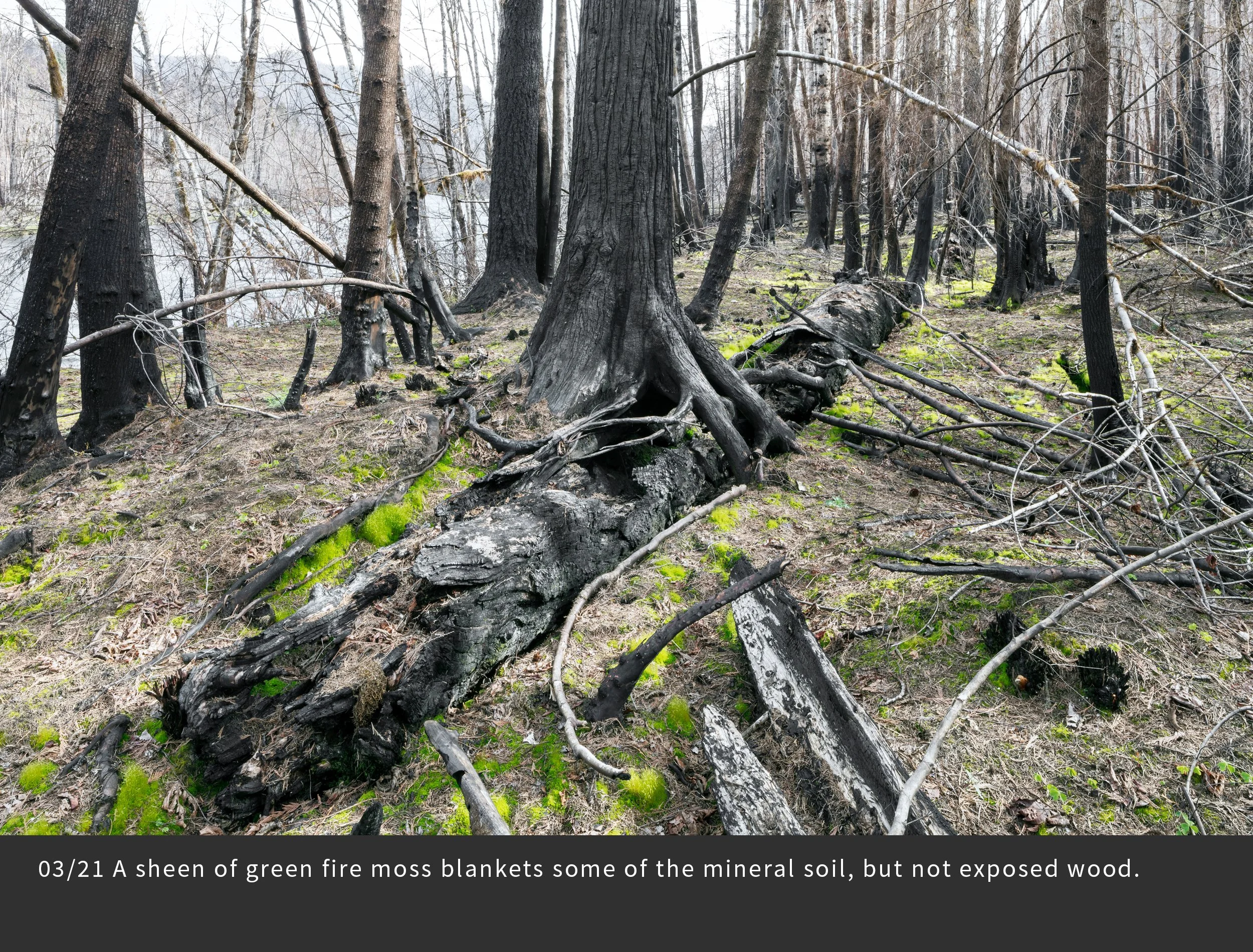
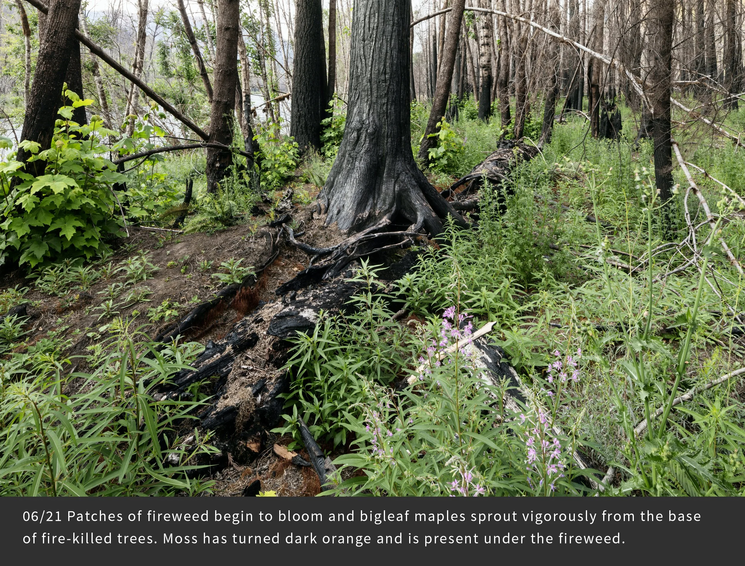
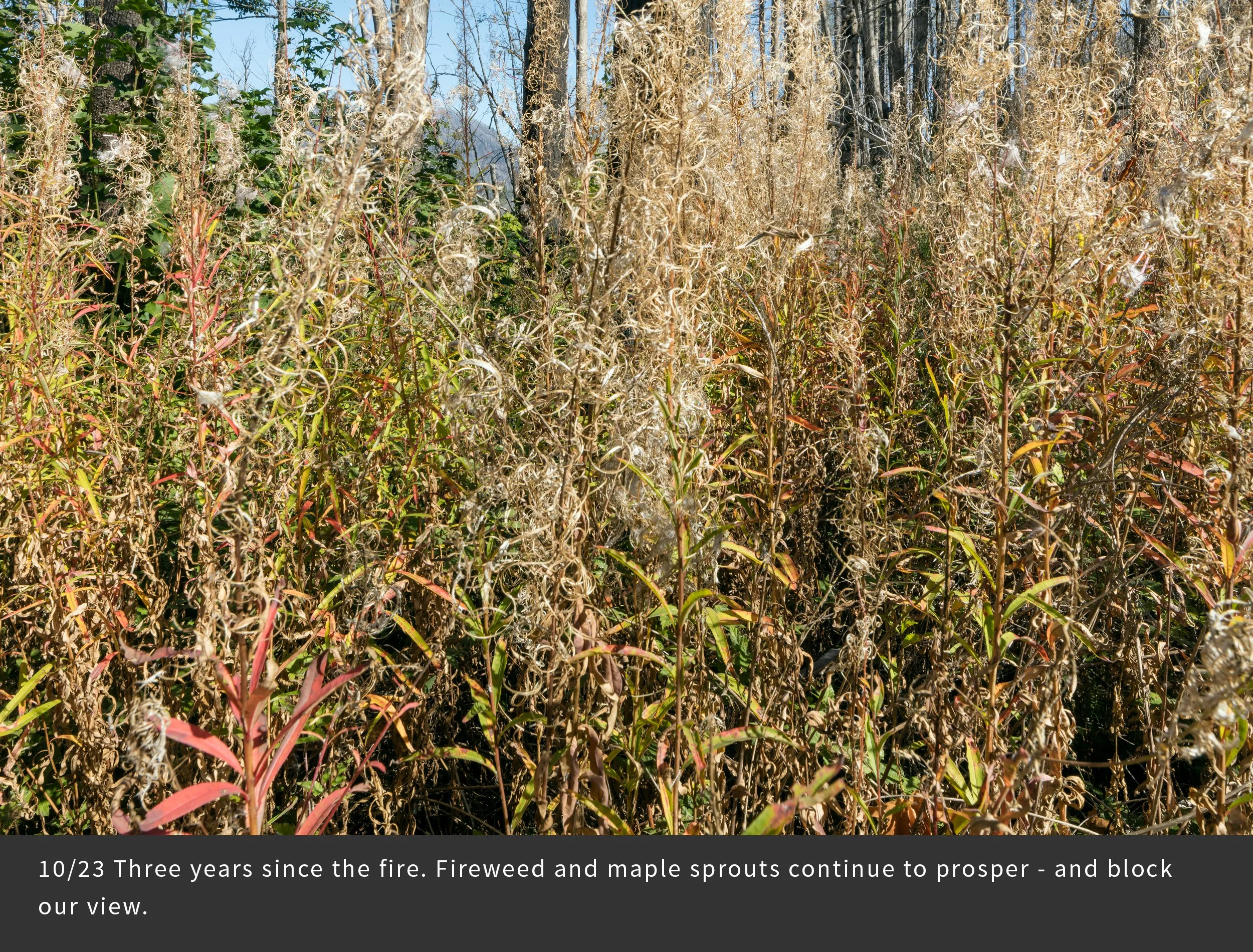
This view is looking up the McKenzie River valley in a mixed hardwood and conifer forest on a terrace high above the river. A large western redcedar tree several feet in diameter stands upright, nursed on a highly decomposed log. The forest had been old growth until clearcut approximately a century ago, and then the existing stand established naturally. The fierce September 2020 wind blew fire down the valley and tipped over some of the small trees. We picked this site as a photopoint to observe how these elements of forest history develop in the future.